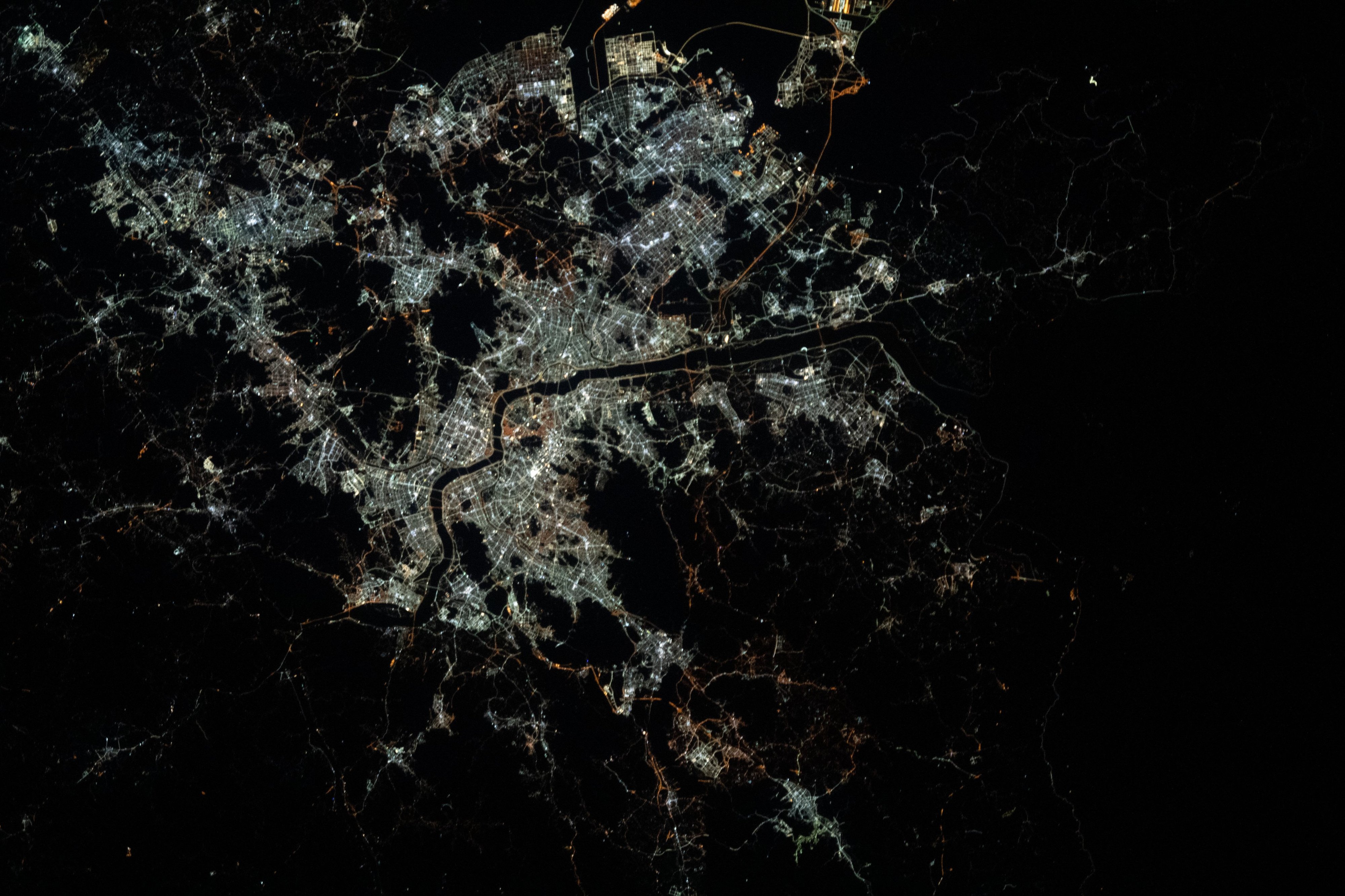
Pettit captured the image while aboard the International Space Station, highlighting how city lights congregate in lower elevations, spreading along the path of least resistance. The resulting composition renders the dense metropolitan area as a brilliant, glowing web, sharply contrasted against the deep shadows of the surrounding terrain.
Since its release on June 18, 2026, the image has circulated widely across social media platforms. Observers noted the clarity of the city’s footprint, with many pointing to the Han River—which bisects the capital—as a striking, dark vein cutting through the illumination. The post serves as a rare visual testament to how topography dictates the growth and structural development of one of Asia’s largest urban centers.


Comments (0)
No comments yet. Be the first!