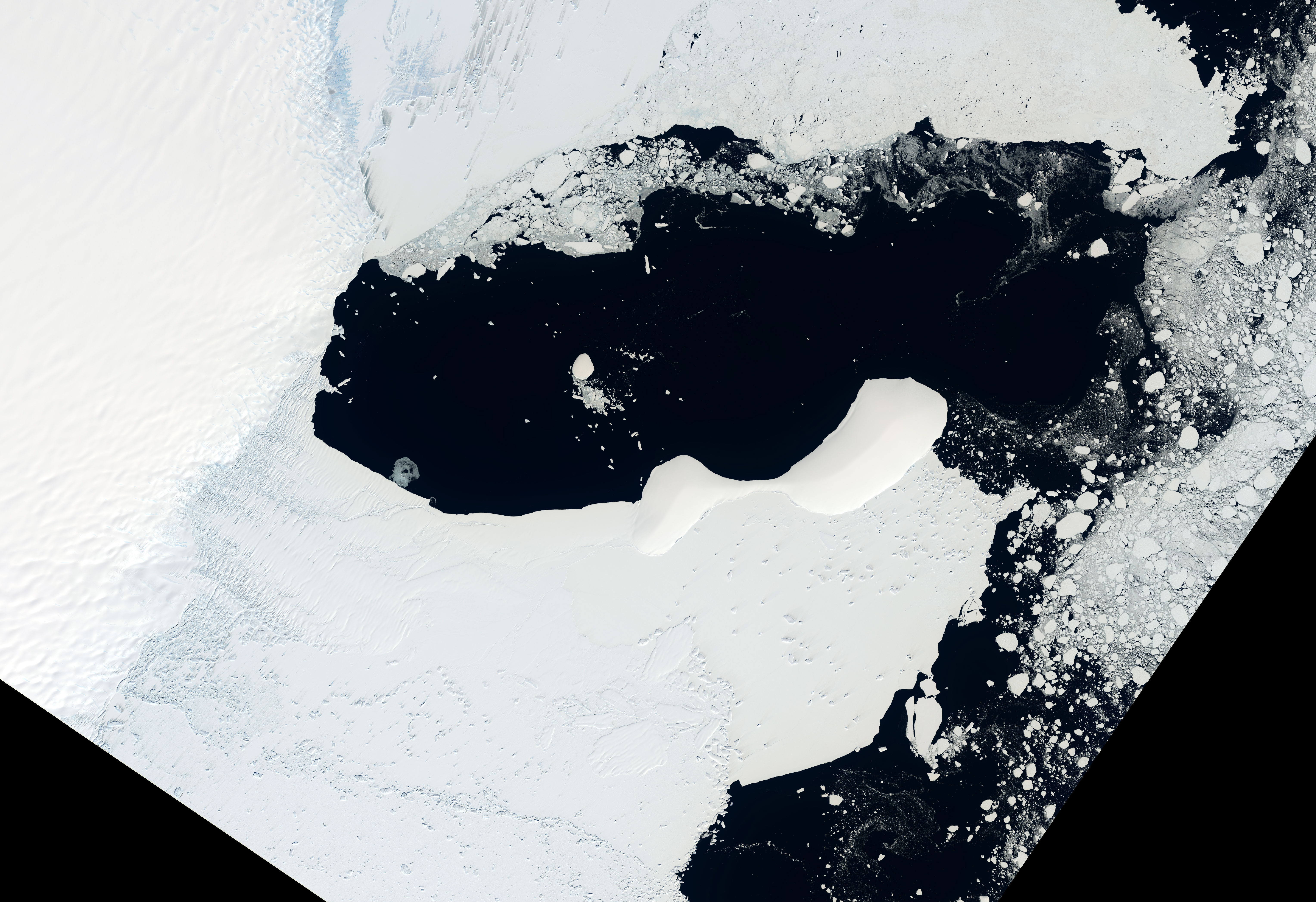
The image, processed by signal analysis engineer Seongsu Jeong at NASA's Jet Propulsion Laboratory, utilizes the satellite's L-band radar to penetrate the snowpack. While standard optical imagery renders the region as a featureless expanse of white, the radar captures the complex interaction between microwave signals and the ice. Magenta hues indicate smoother surfaces reflecting horizontal waves, while sharp green lines reveal the jagged, uneven terrain of crevasses where volume scattering occurs.
This capability highlights the primary advantage of the joint NASA-ISRO mission. By analyzing how polarized signals bounce off the Earth's surface, researchers can now map the movement of ice masses with unprecedented clarity. The data, which began public release on July 20, serves as a critical tool for monitoring environmental shifts, including the behavior of glaciers, wetlands, and natural hazards like earthquakes. As the mission progresses, the combined L-band and S-band radar systems will provide a continuous stream of observations, allowing scientists to track how ice properties evolve deep beneath the surface.



Comments (0)
No comments yet. Be the first!