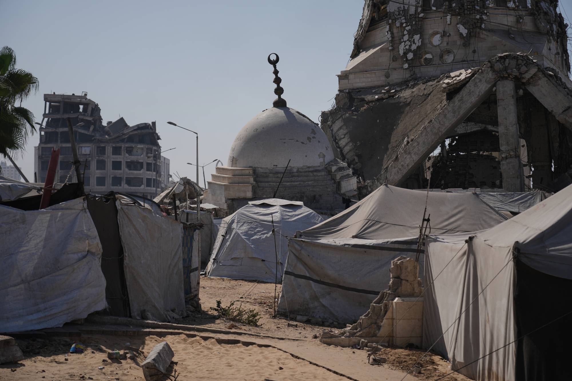
The expansion of military zones forces families into a perpetual cycle of movement. While international diplomatic efforts, including recent peace proposals, promise humanitarian relief and eventual troop withdrawals, the reality on the ground remains dictated by drone warnings and evacuation orders. For residents like Umm Sami, the struggle is reduced to the desperate salvage of household remnants before the next relocation.
Discontent is intensifying as the density of the remaining civilian pockets creates increasingly unsustainable living conditions. The divide between the projected maps of negotiators and the physical reality of the encroaching front lines continues to widen, leaving thousands to navigate military-designated corridors with no clear destination.




Comments (0)
No comments yet. Be the first!